As the Mid-Atlantic recovers from a major snowstorm, a new winter system is developing in the Plains, set to sweep through the Midwest before reaching the East Coast.
By Wednesday morning, this second storm is impacting Kansas City, Missouri, and Des Moines, Iowa.
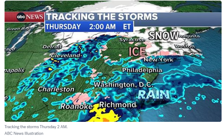
By late Wednesday morning, the storm will reach Chicago, bringing 4 to 6 inches of snow.
An ice storm warning is in effect for Toledo, Ohio, where significant ice accumulation could lead to power outages.
By Wednesday evening, the system will move into the Northeast, delivering mostly rain along the Interstate 95 corridor, while New England and upstate New York brace for an icy mix.
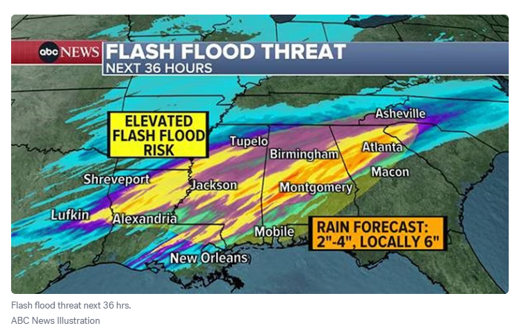
On the storm’s southern edge, heavy rainfall could trigger flash flooding from Louisiana to North Carolina.
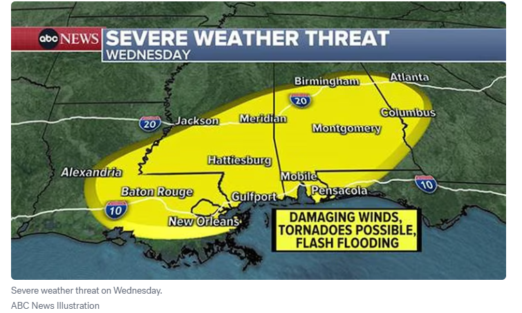
Meanwhile, Louisiana, Mississippi, and Alabama face the risk of strong tornadoes.
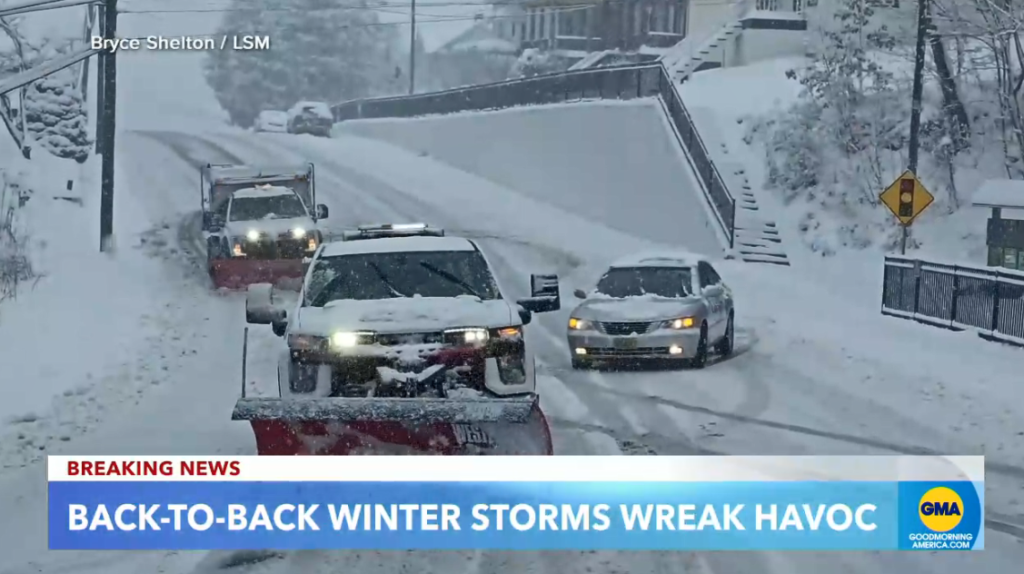
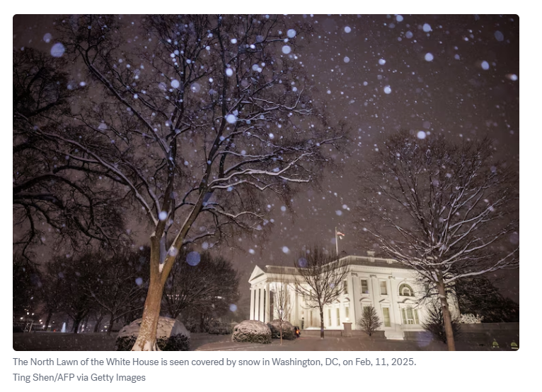
This follows a powerful snowstorm that slammed the Mid-Atlantic on Tuesday.
Virginia saw over 14 inches of snow, while West Virginia recorded 13 inches. The heavy snow and ice have caused trees to fall in Virginia, leaving more than 100,000 customers without power as of Wednesday morning.
In Washington, D.C., where more than 6 inches of snow cover the ground, public schools are closed for the day.
In the aftermath of a significant snowstorm that impacted the Mid-Atlantic on Tuesday, Philadelphia recorded 2.6 inches of snow, while New York City received 1.4 inches.